explore a floodplain wetland
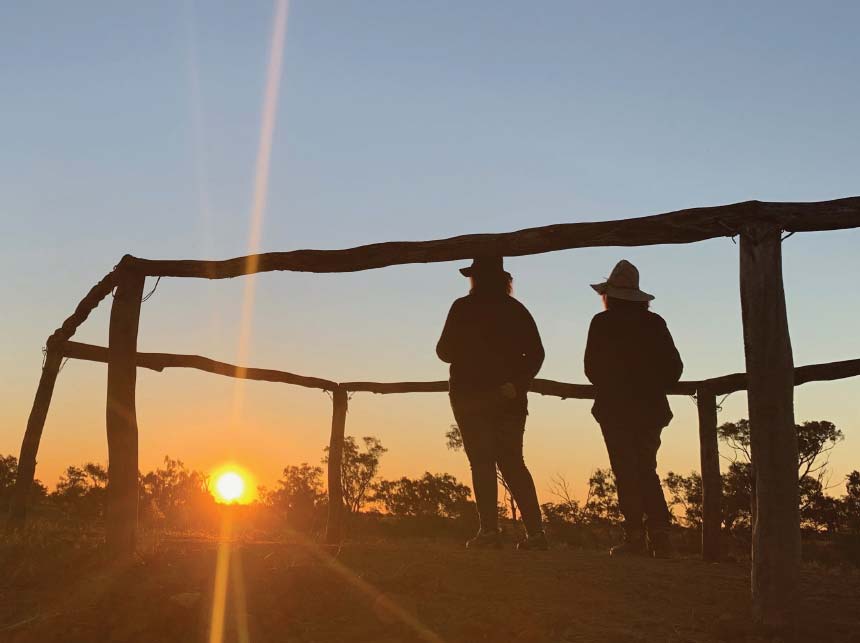
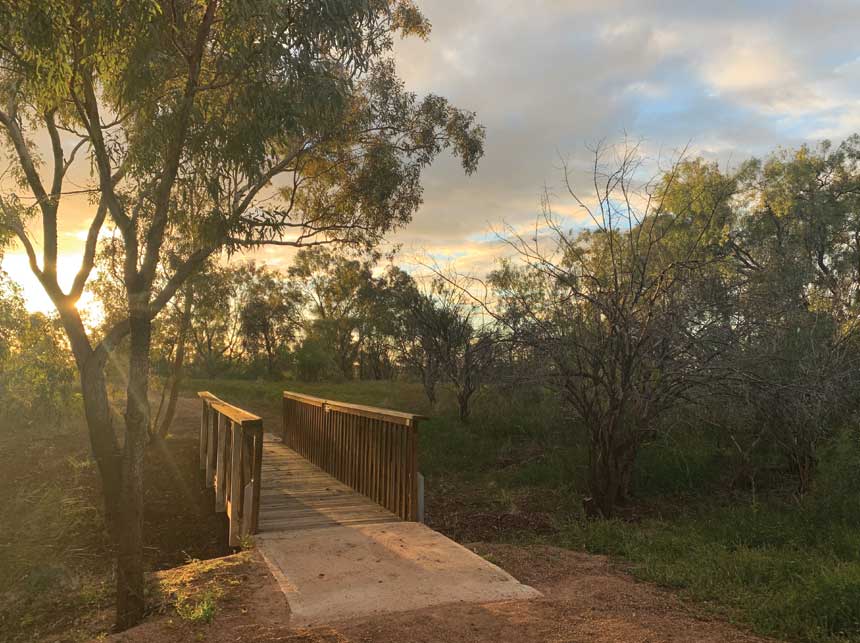
This 2km return stroll across the blacksoil plains explores the remarkable natural worlds of the floodplain wetland. These are the ecological hotspots of the Mulga Lands Bioregion, but you could easily miss the abundance of this place if visiting in a dry spell. To help you appreciate the riverwalk no matter what the season, a series of interpretive signs are in place along the track.
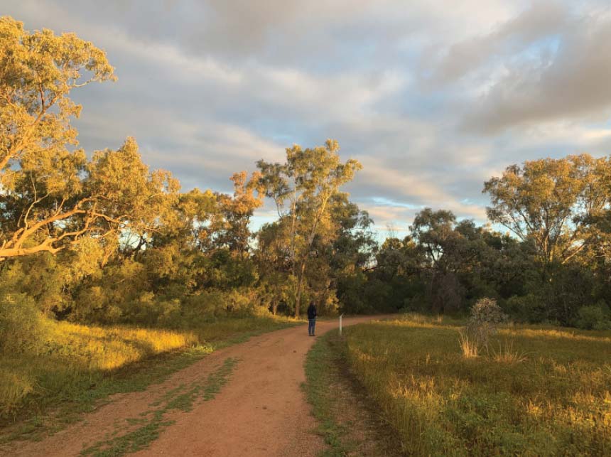
For the locals the blacksoil plains beside the river are never lacking in life. They know what happens here when the rains come and the river rises. Then the bioswitches of plants, birds, fish and animals all flick to breeding time as new water powered, short lived nursery habitats spring up across the landscape.
The Riverwalk West hopes to share with you some of the hidden power of this place – of how life here is adapted survive the dry spells in order to thrive when the rains come.
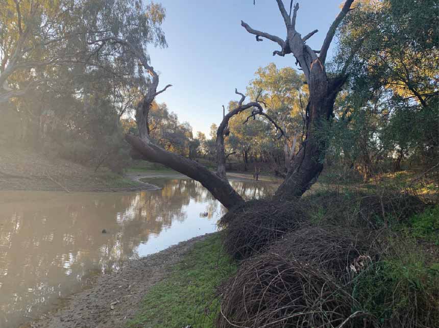
Even before the major weir was built on the Warrego River 5km downstream in 1991, long stretches of permanent water defined the river channel here.
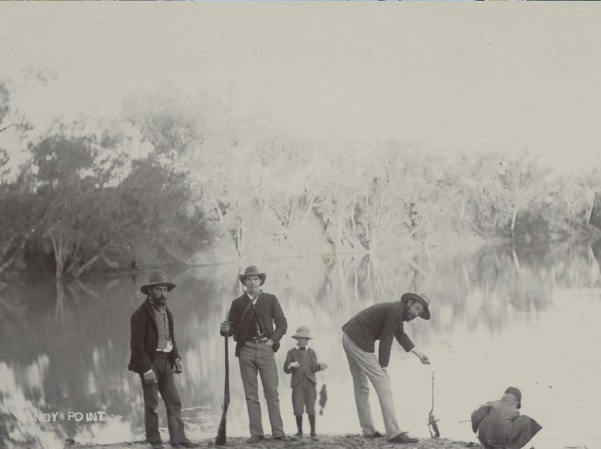
The Aboriginal name “Cunnamulla” describes this very feature. This name was first written down by the explorer William Landsborough when he travelled down the Warrego in 1862. It did not at first make it onto the early 1863 parish map recording the area’s squatting runs. This name was only added later to the map after the town of Cunnamulla was officially established in 1868.
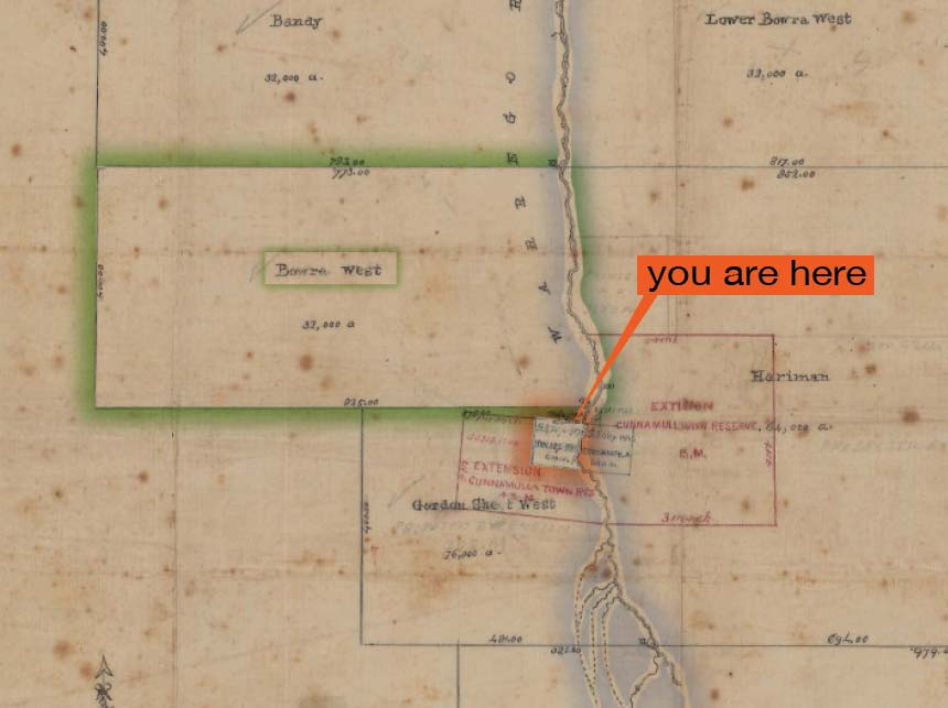
As part of this process a special reserve was set aside on the opposite riverbank for pasturing police livestock. Today this walk takes a stroll around the old horse reserve. Another major feature here today is the existence of the neighbouring Bowra property. This has now been taken up and actively managed as a privately owned wildlife sanctuary. Together these two reserves are helping to educate us about the rich diversity of life along the floodplain wetlands.

10. Budgerigars
2. Coolibah
